🎵 ex-terrestrial – Travel Safe
Tag: London
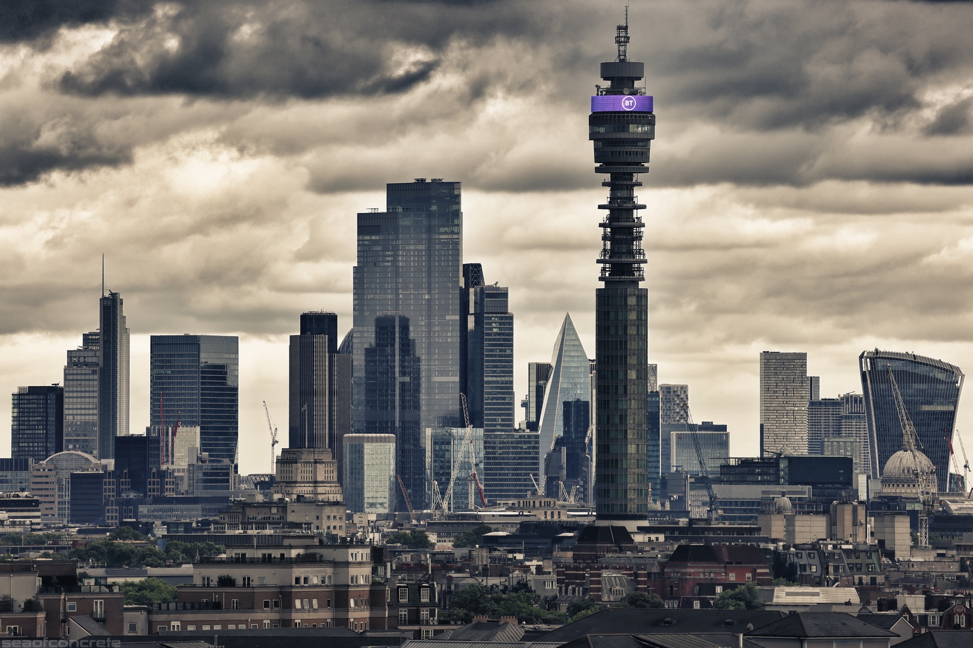
🎵 4 Hero – Students Of The Future (Nostradamus: The Revelation)
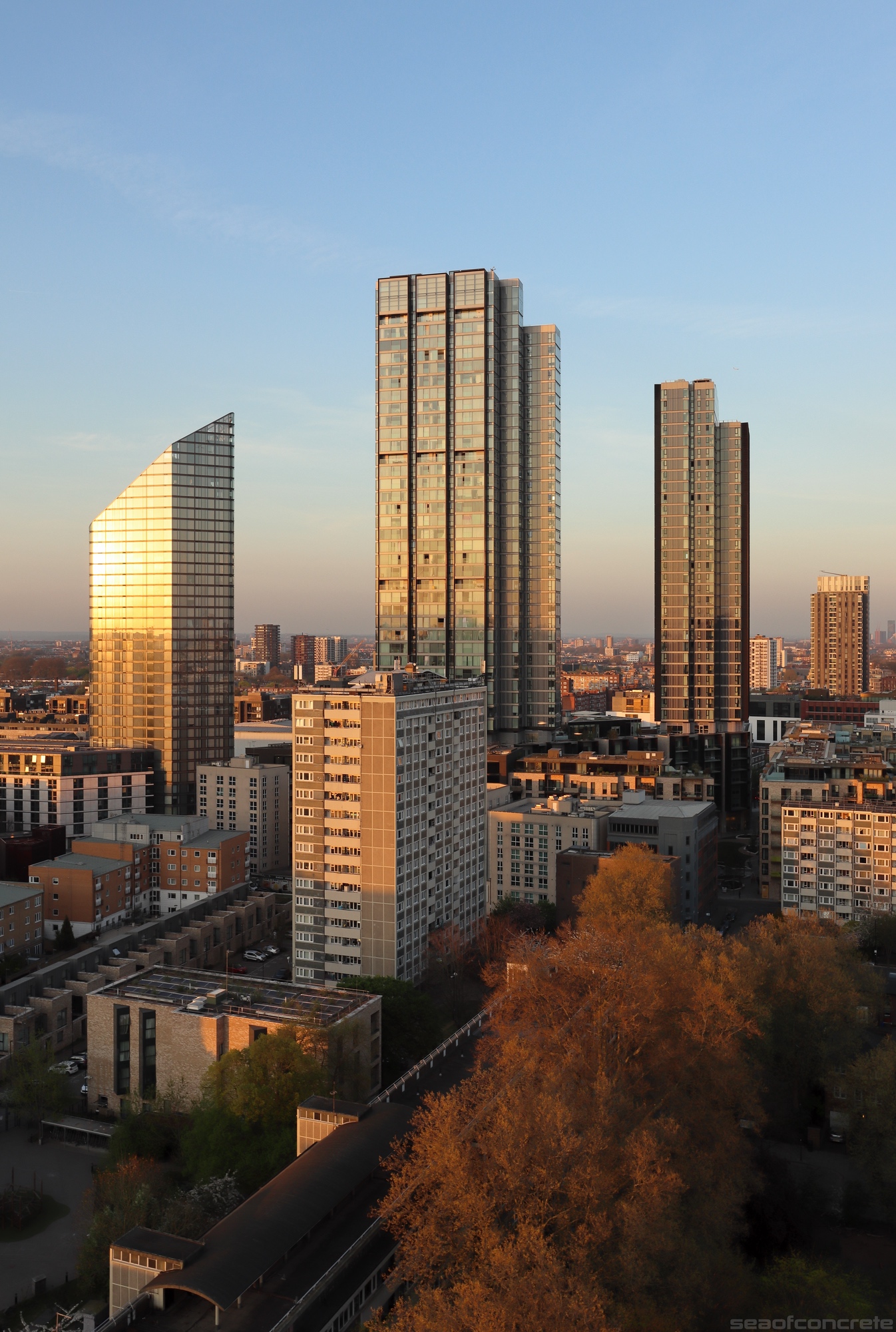
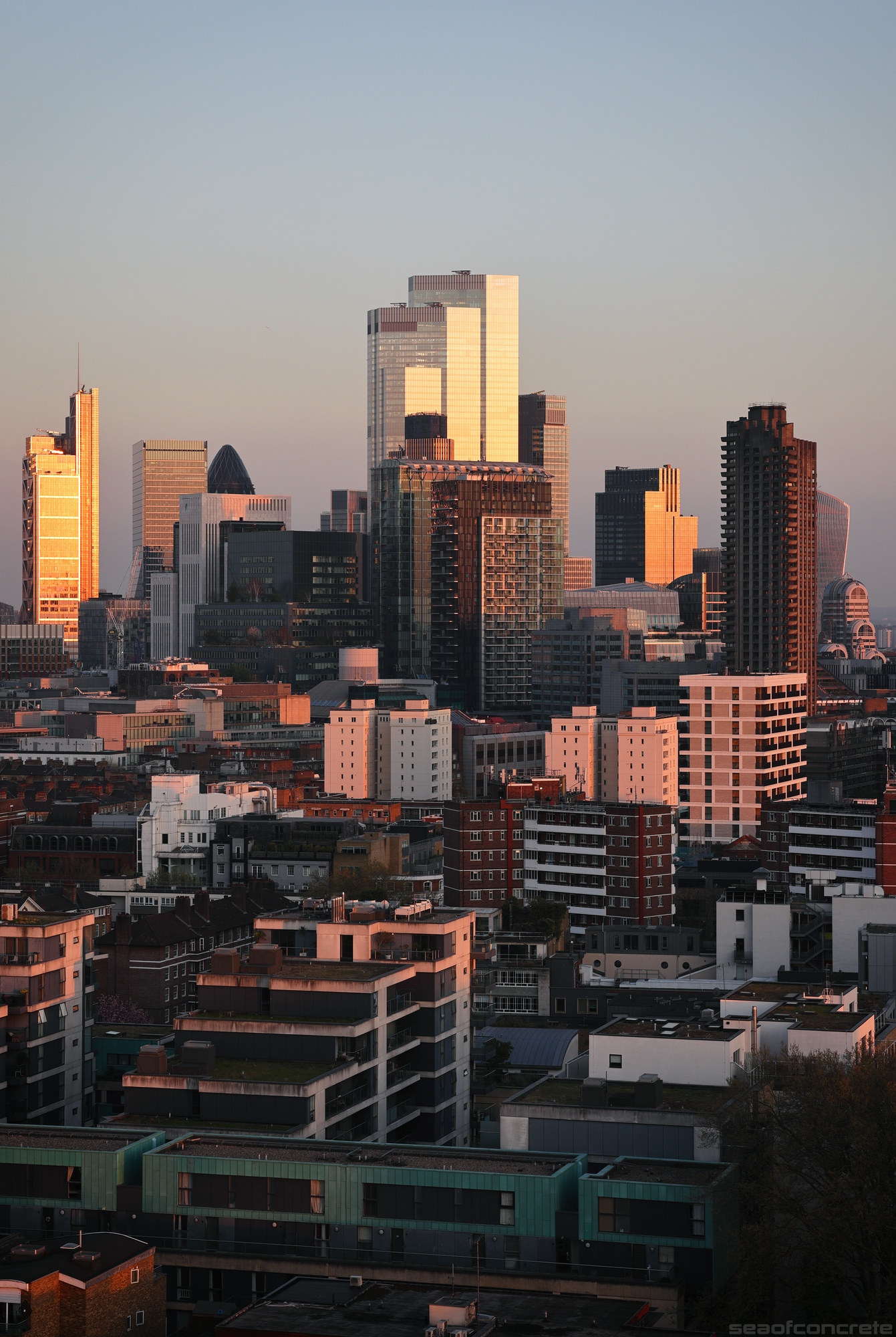
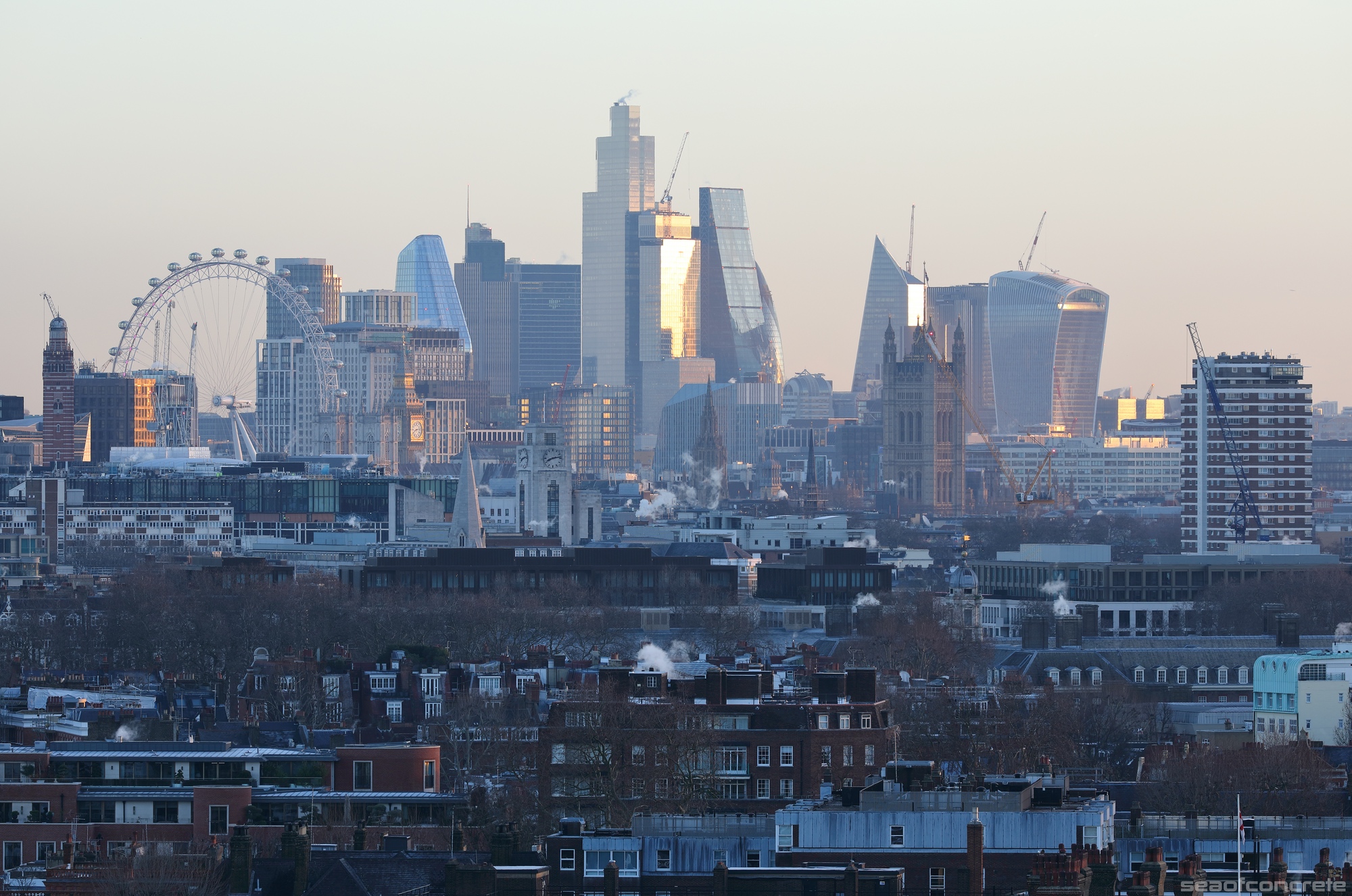
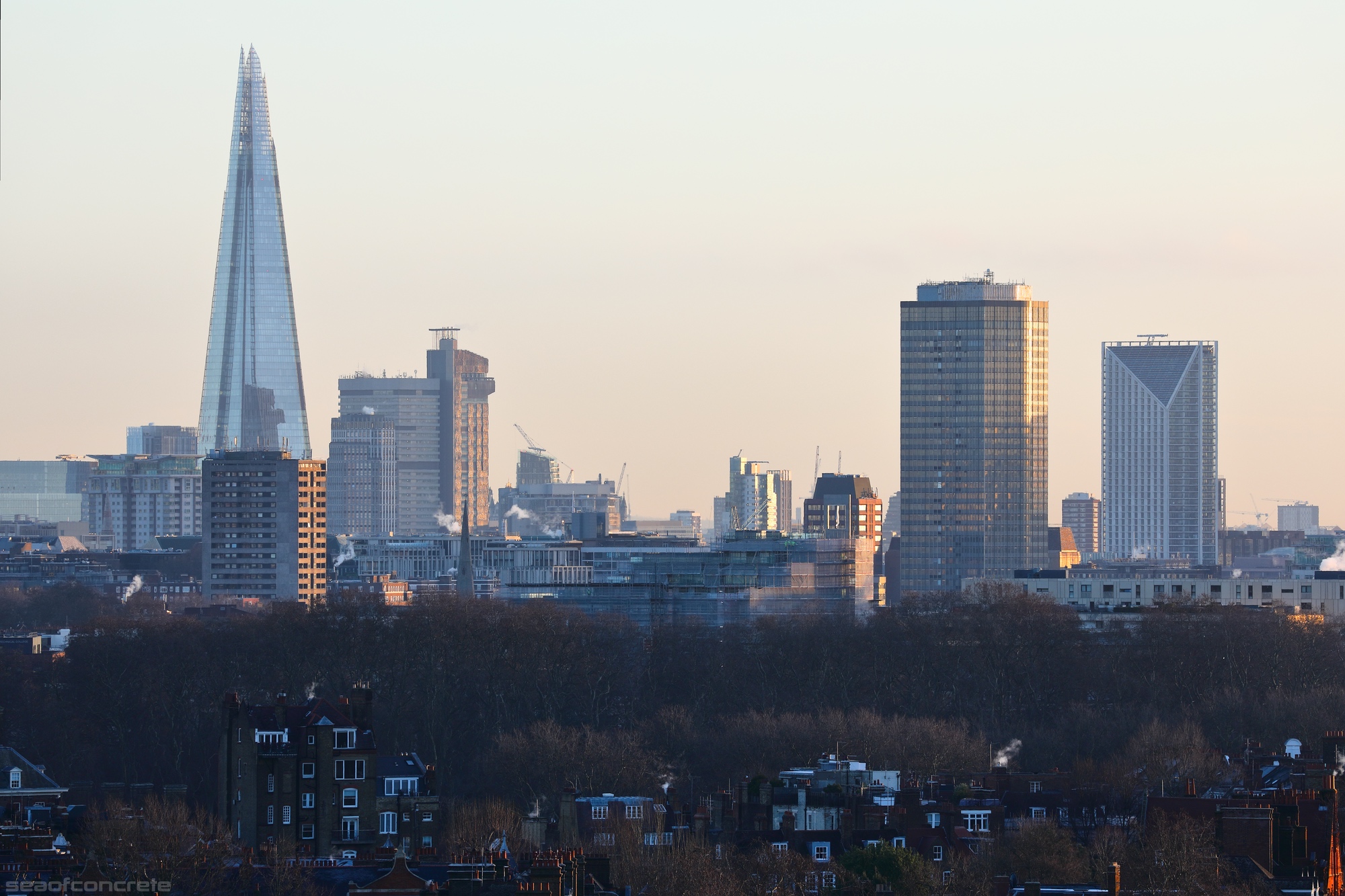
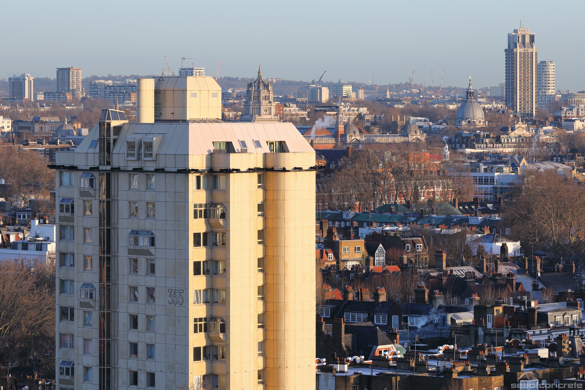
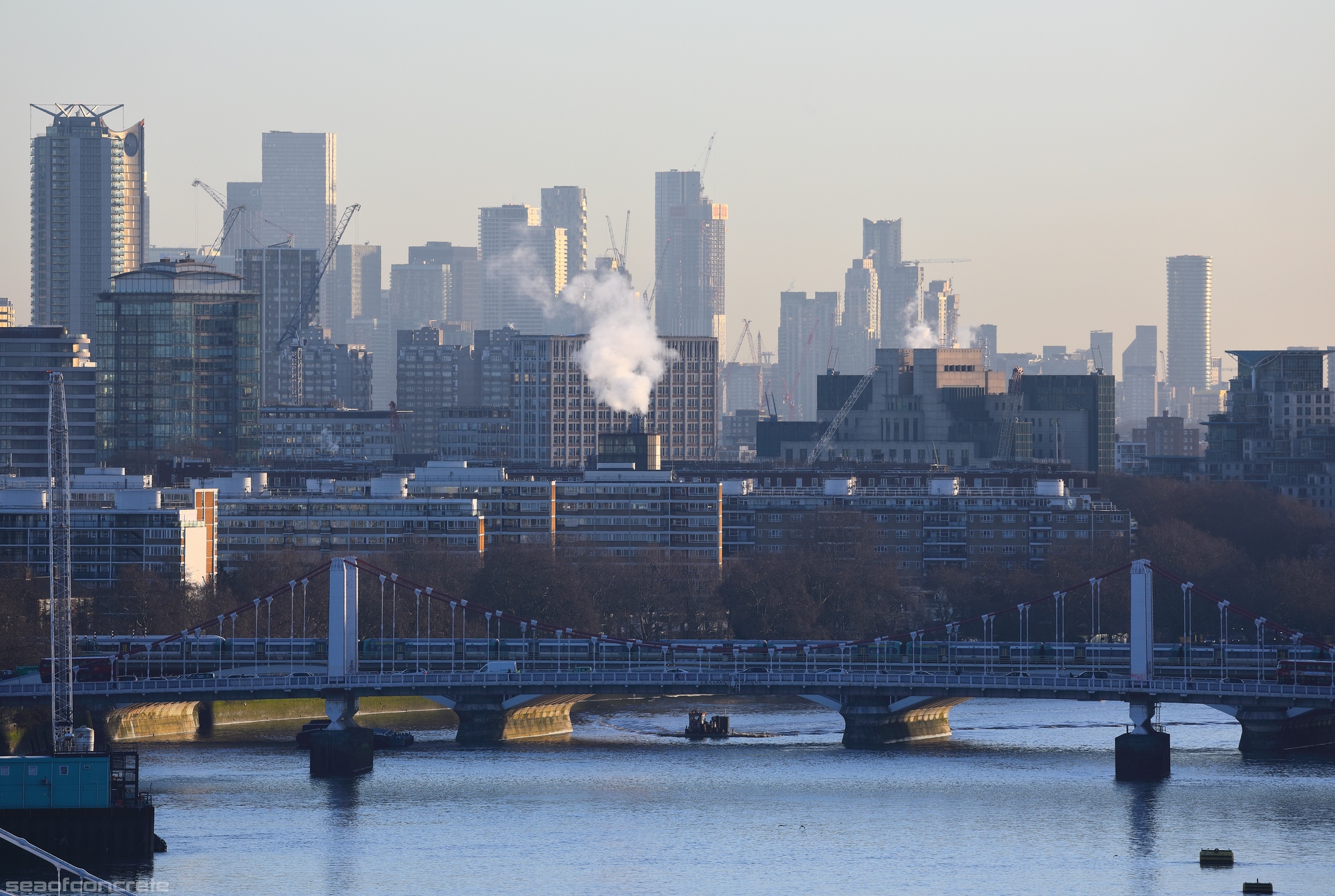
These photos were taken at sunrise on January 20, 2023.
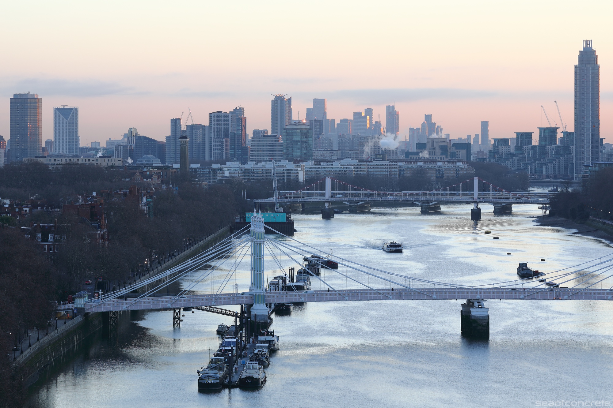
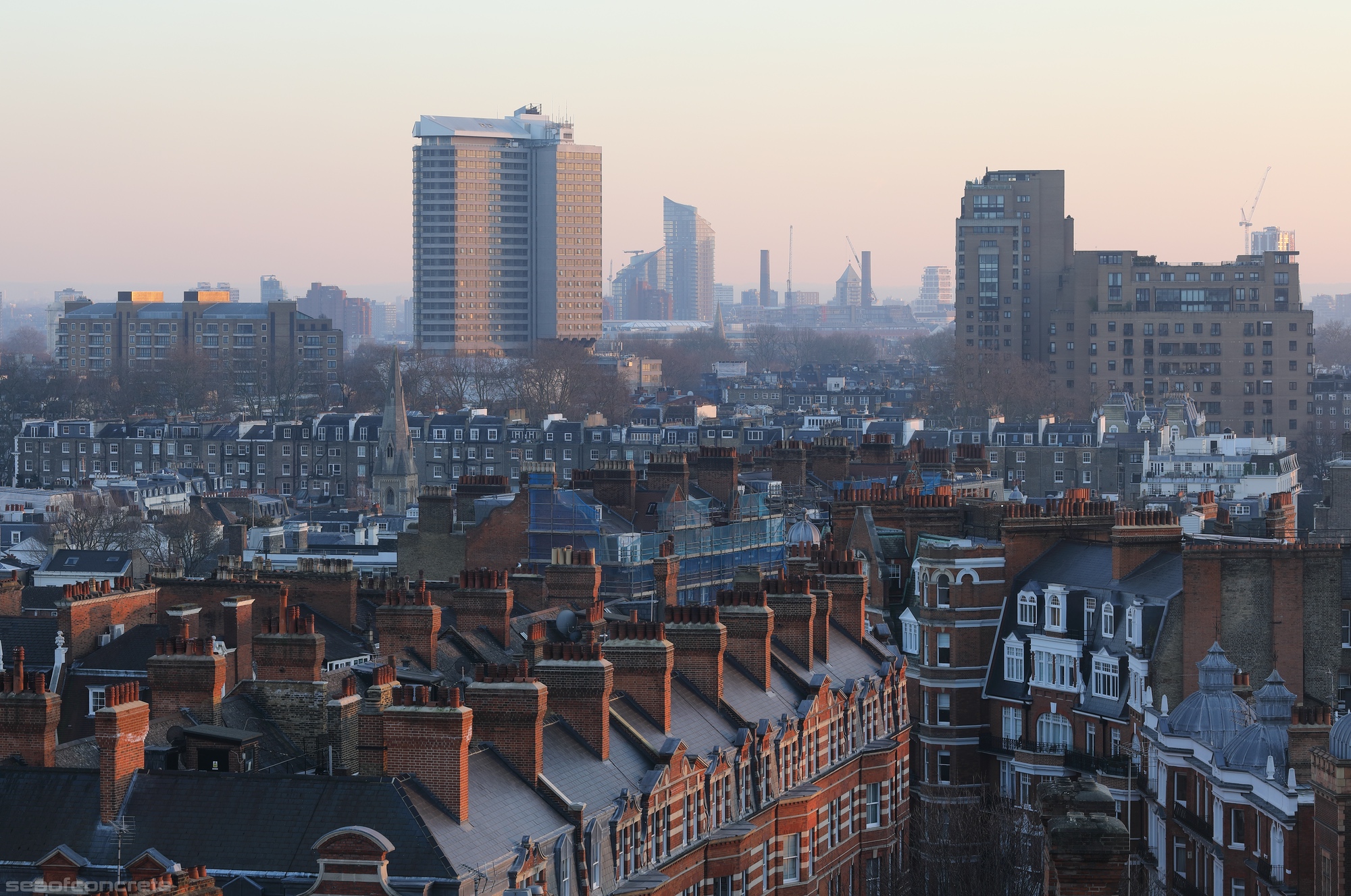
This photo was taken in February 2023, before major renovation works began on this West London Seifert brutalist monument. The hotel now stands as a hollowed-out shell, wrapped in scaffolding.
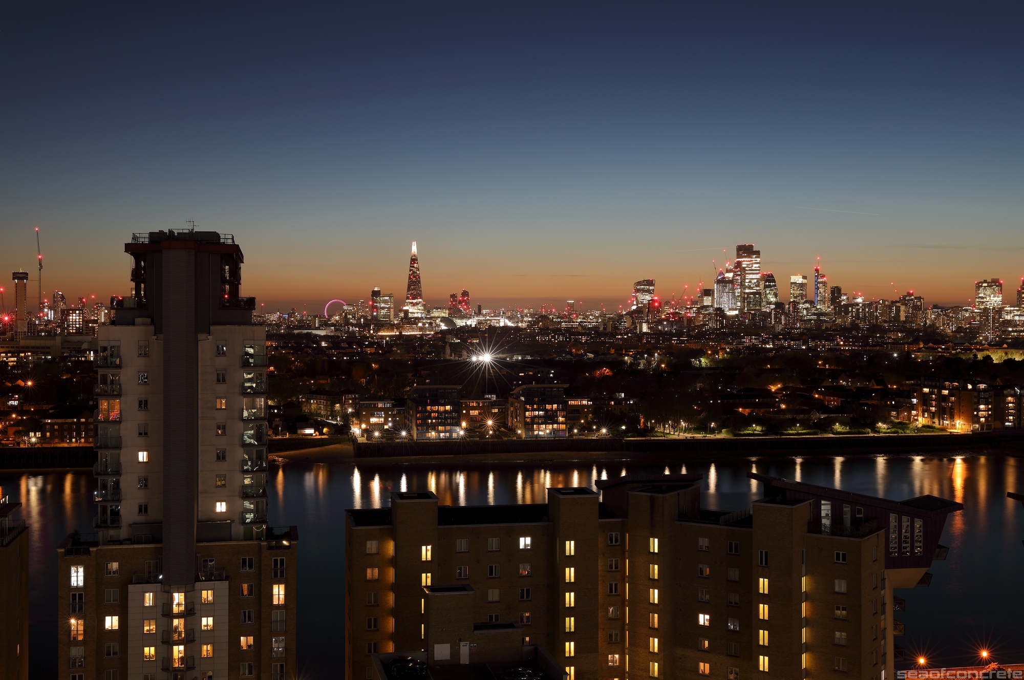
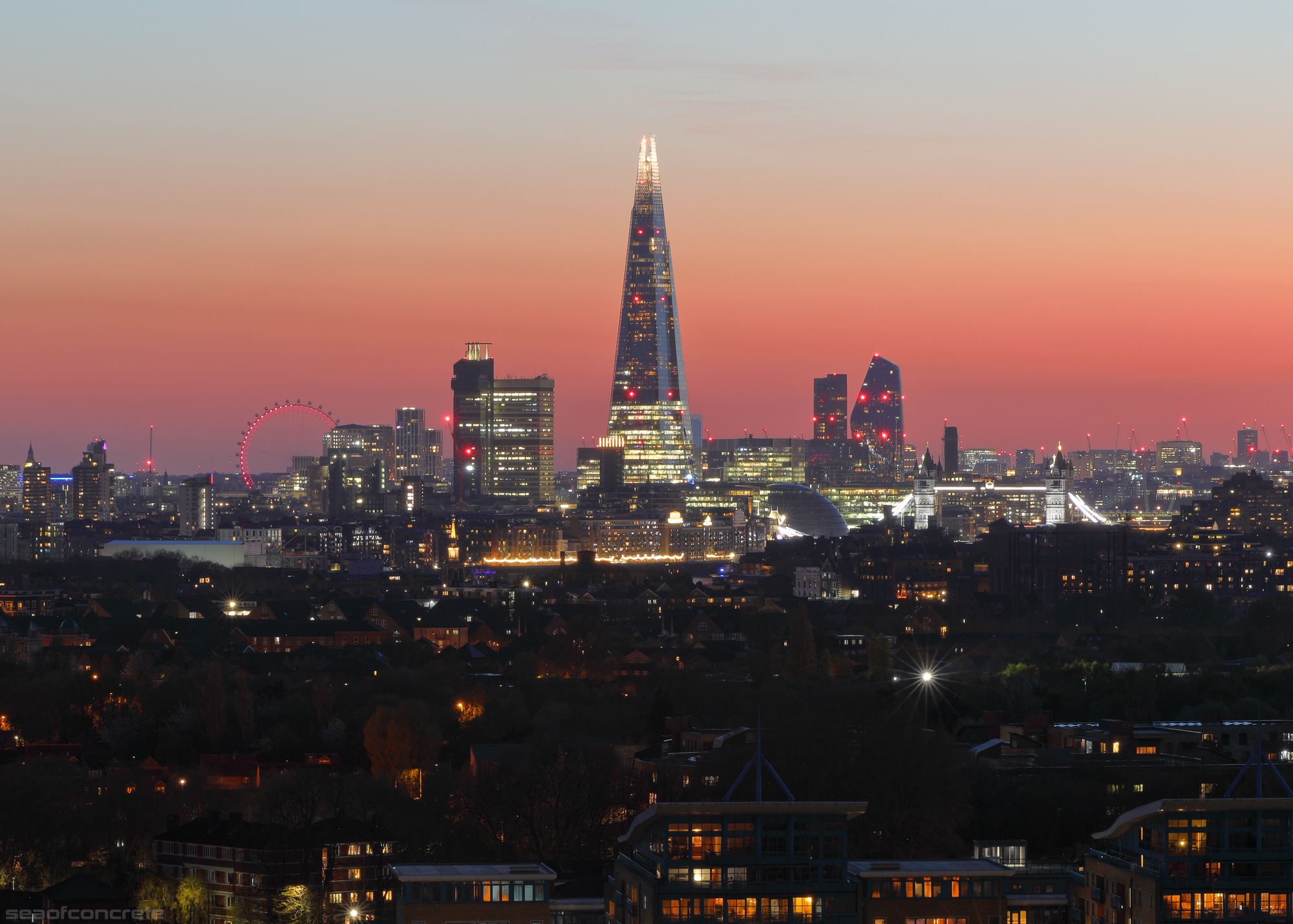
Some views of Tower Bridge, The Shard and the City of London, taken from various elevated locations on the Isle of Dogs over the past two years.
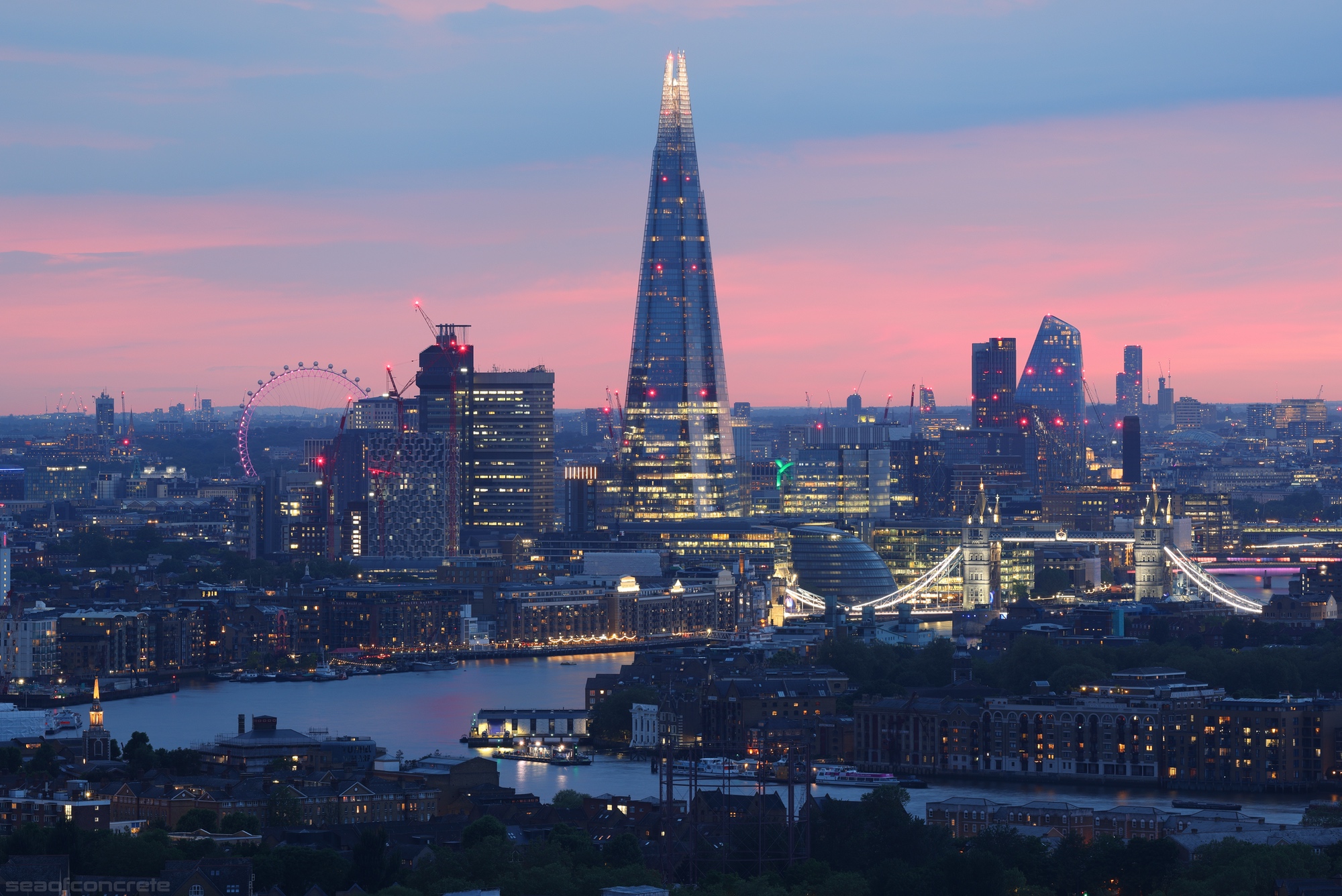
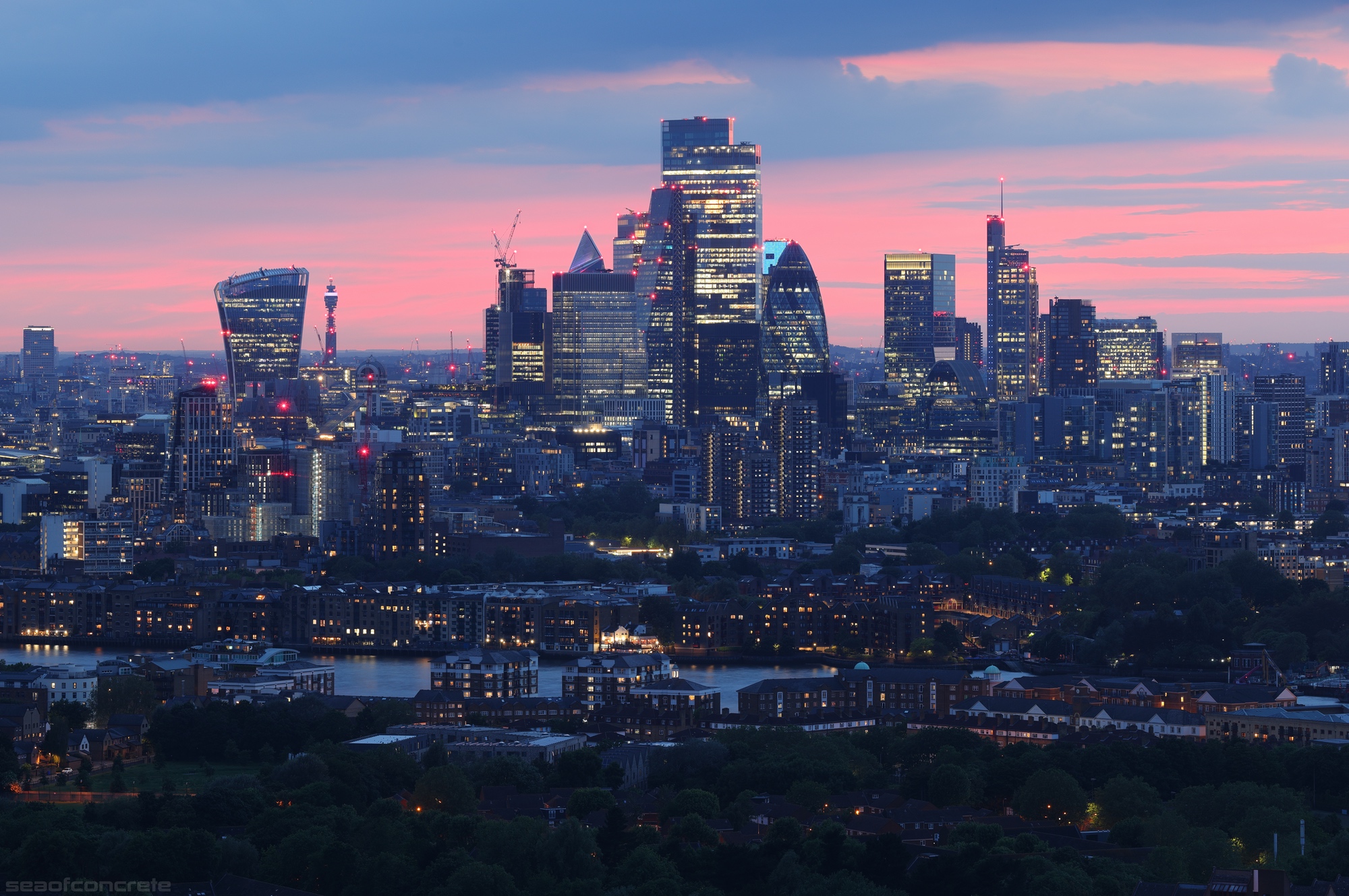
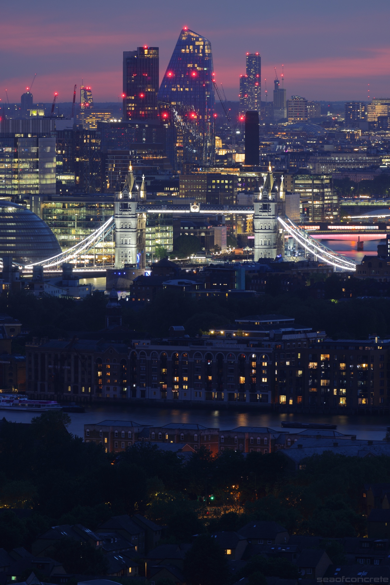

In this post, I shall showcase some of the photos I took from Dawson’s Heights housing estate. As usual, these images look much better on a desktop monitor. From Wikipedia:
Dawson’s Heights (also known as Dawson Heights) is a large social housing estate in East Dulwich, London Borough of Southwark, London.
It was designed by Kate Macintosh and built in between 1964 and 1972. The estate is built on top of a spoil tip from the creation of a nearby railway line.
It has a modernist style, reminiscent of a ziggurat. The purpose of this design was to ensure that two thirds of the flats had views in both directions, including towards central London. English Heritage described the estate as having “a striking and original massing that possesses evocative associations with ancient cities and Italian hill towns”.

Taken from the top floor of the Ladlands block on February 6th at around 7am, the above photo shows the City of London 30 minutes before sunrise. Looking directly towards the Shard, we can see the Pelican Estate in Peckham in the foreground, with the elongated blocks of the Aylesbury Estate to its left, visible behind the tall chimney.
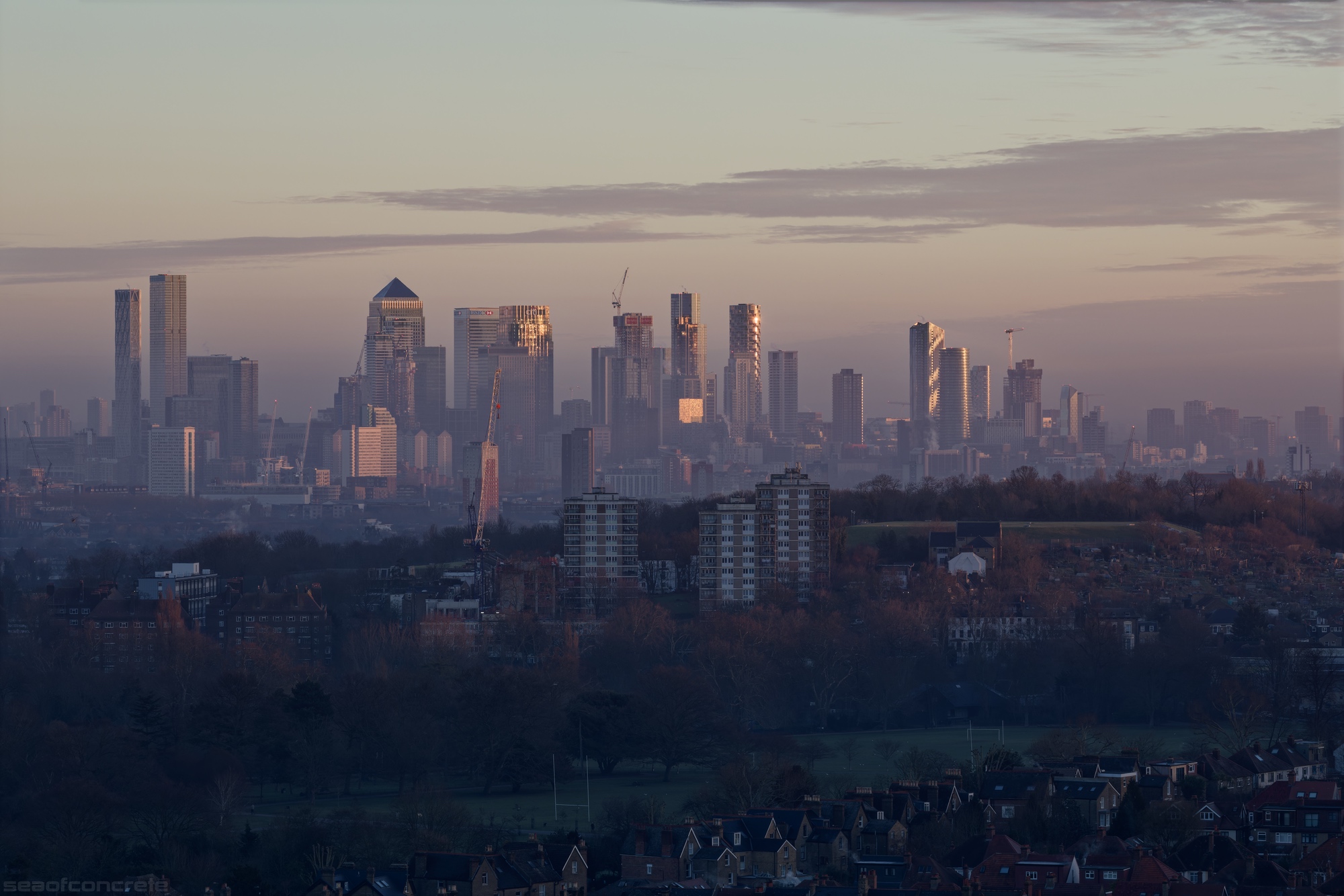
The above shot was taken from the same location about half an hour later, shortly after sunrise. Looking towards Canary Wharf and the Isle of Dogs, the three tower blocks in the foreground are part of the Rye Hill Park Estate, with Stuart Road Allotments situated immediately to the right. To the left, we can see the orange-coloured Hawke Tower and further in the distance stand the massive tower blocks that form part of the famous Pepys Estate – Eddystone Tower, Daubeney Tower and Aragon Tower. Hiding just behind them on the other side of the river are the tower blocks of the Barkantine Estate. In the bottom right of the photo we can see Colyton Road and Peckham Rye Park.
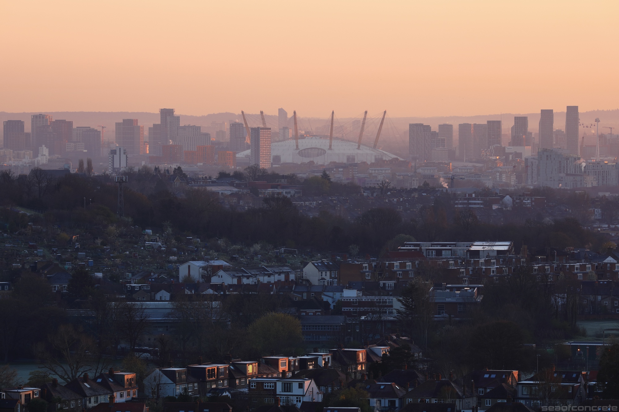
Fast forward by two months, I returned to this location to capture more photos at sunrise. Panning further east from the view of the previous photo, we can see the other half of the Stuart Road Allotments. Right across the river from the O2 Arena (formerly the Millennium Dome) we can see Kelson House. This photo was taken on April 4th at 6:38am.
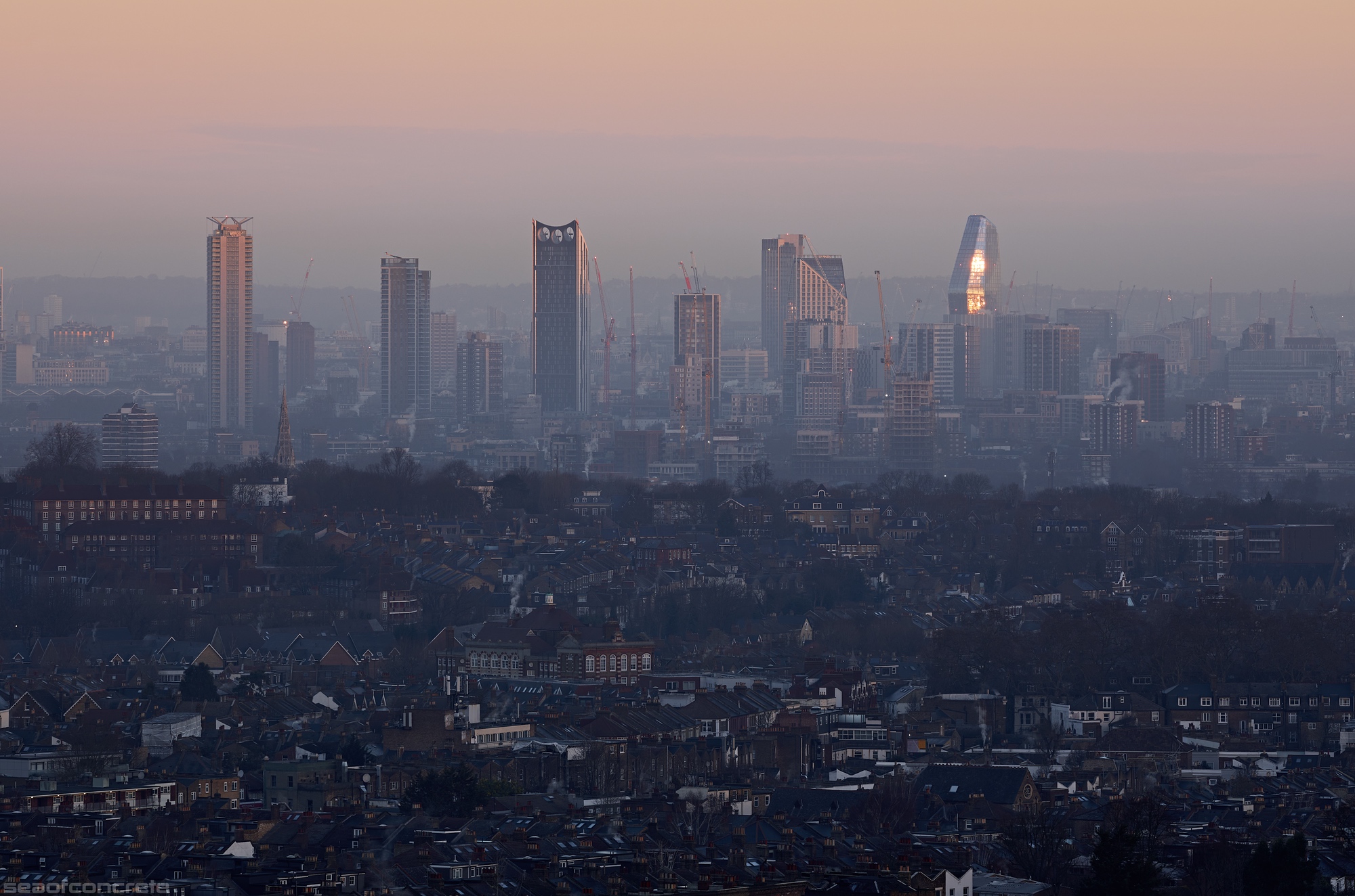
Rewinding back to February 6th, this photo of Elephand & Castle was taken at 7:32am. The rising sun is illuminating the tip of the magnificent Strata building, also known as the “The Razor”. With East Dulwich in the foreground, we can see the Dog Kennel Hill Estate dwellings on the left side of the photo. Right behind it is the Masterman House tower block, a building with historical connections to the Kray brothers. All the way over on the right side, we can see the Portland Street Estate.
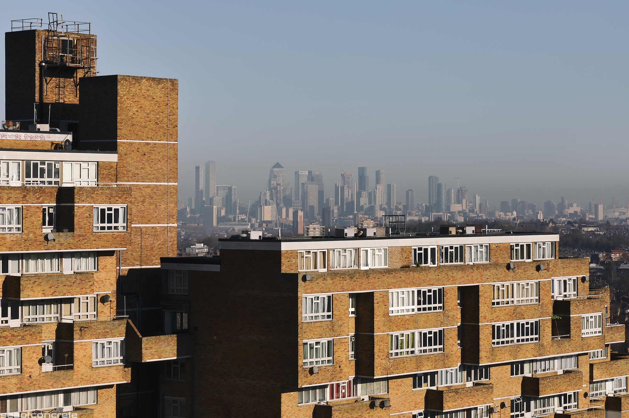
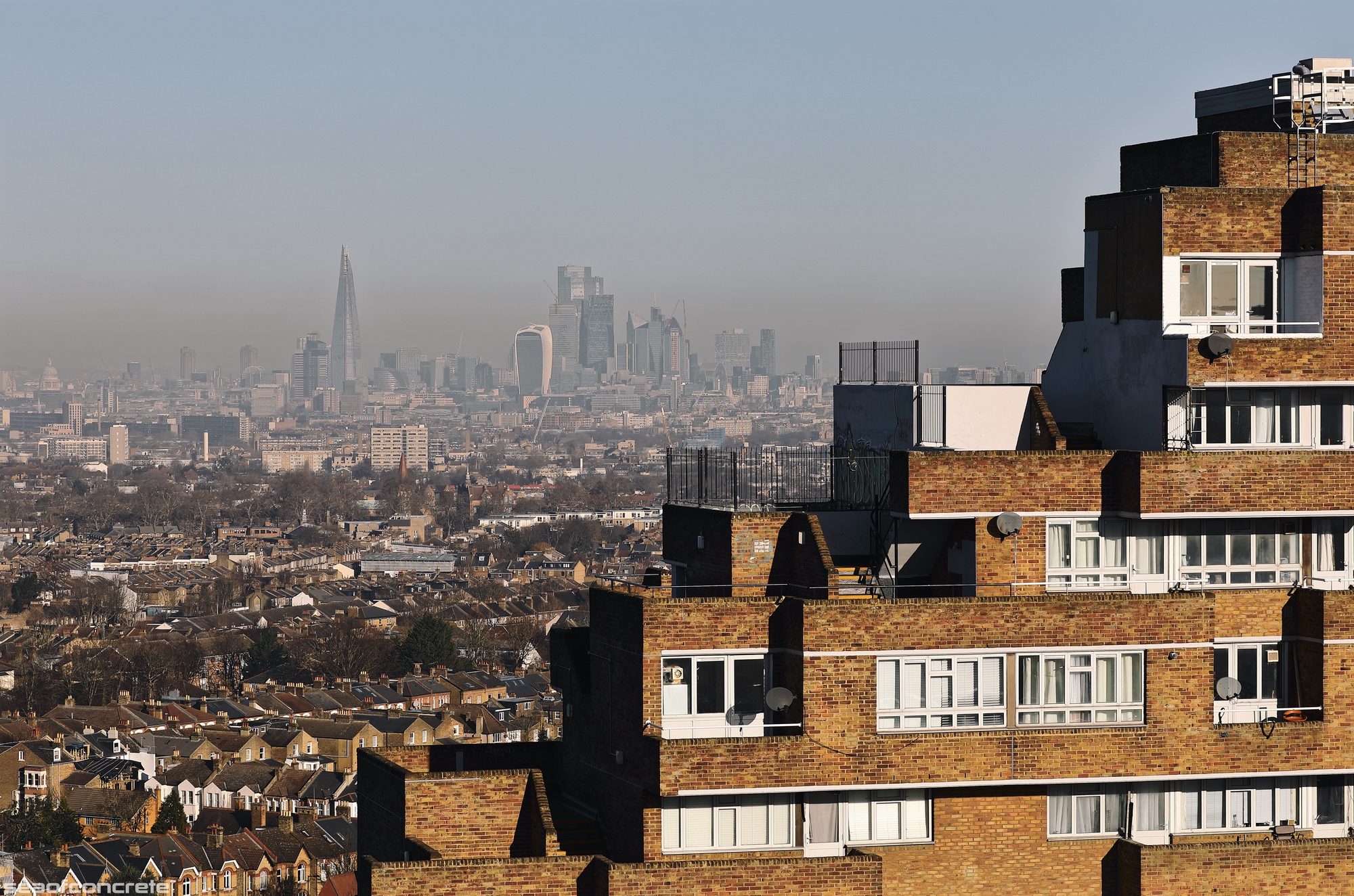
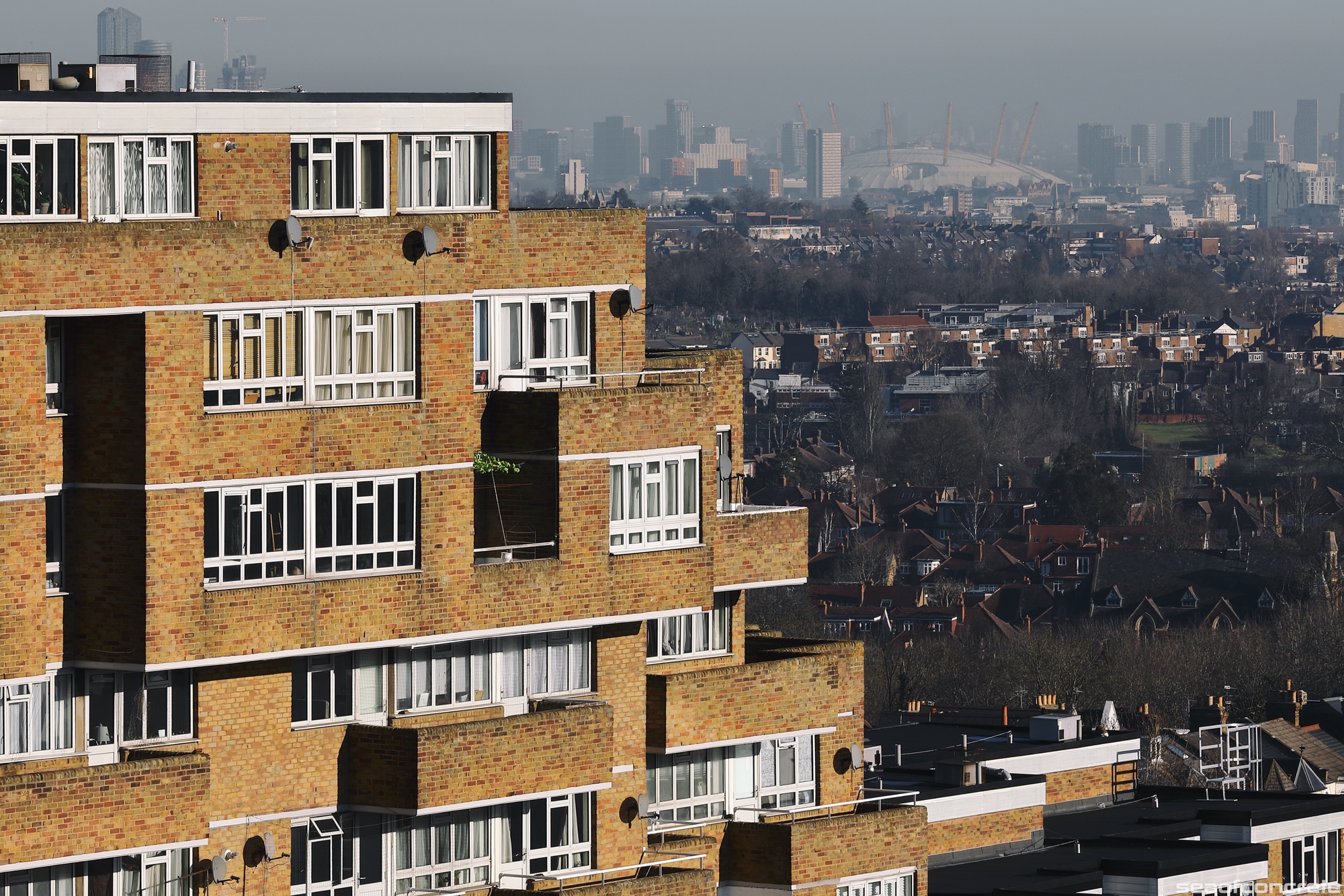
A few detail shots of the Ladlands building with the city in the background, taken at around 9:30am on February 6th.

This and the next five photos were taken a day earlier, on February 5th, when the visibility conditions in central London were slightly better. The tower block dominating the skyline is Maydew House, which was due to be refurbished but will sadly now be demolished due to rising construction costs. Right behind it across the river Thames is the Gordon House tower block, situated on the outer edges of Wapping. We can also see the Old Kent Road (Devon Street) Gasometer with the Rennie Estate visible through its mesh. Just behind this estate, across the river, the eastern tip of St Katherine’s Docks is visible. The cream-coloured tower block with a grey pyramidal roof is 50 Roman Road.
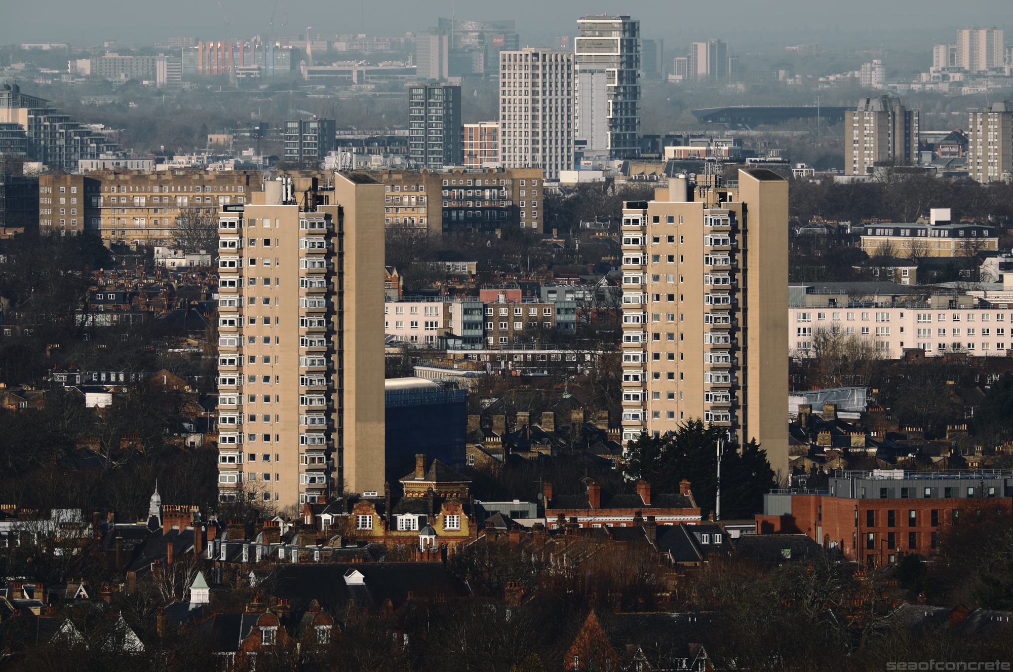
Looking north-west, we can see the iconic Herne Hill towers on the Hurst Street Estate (Park View House, left and Herne Hill House, right) and the Notre Dame Estate just behind it. On the right hand side of the photo, we can spot the grey and white Osprey Heights (left) and Eagle Heights (right) towers that are part of the Livingstone Road estate in Battersea. Right behind it in the far distance is Brentford’s Haverfield Estate, where the mockumentary People Just Do Nothing was set.
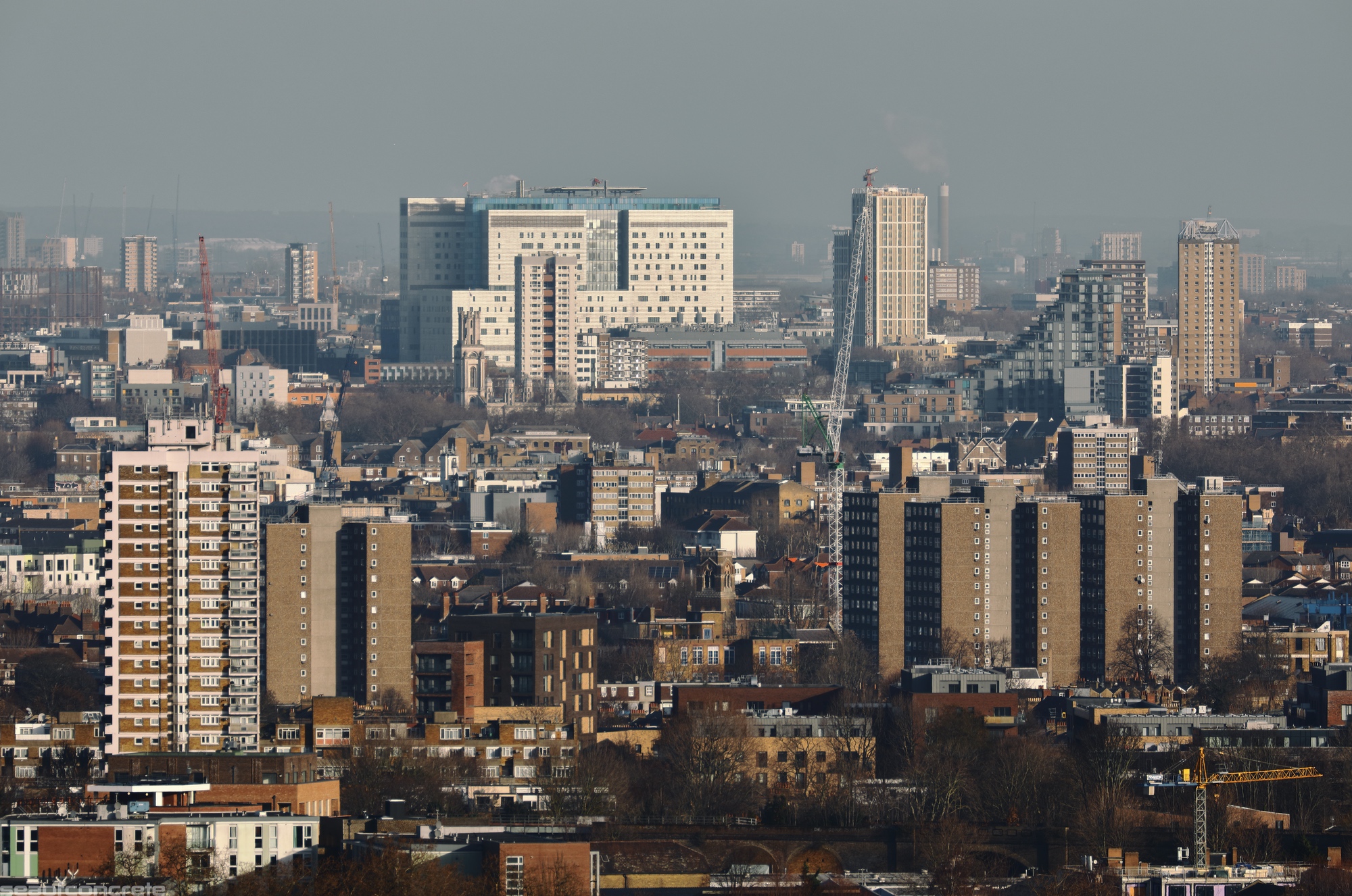
Turning north, we can see the Royal London Hospital with its rooftop helicopter landing pad. We can spot the Luke House tower block right in front of it and Winterton House to its right. In the near distance are the dark brown towers of the Ledbury Estate, and the Witcombe Point block in Tyne Terrace.
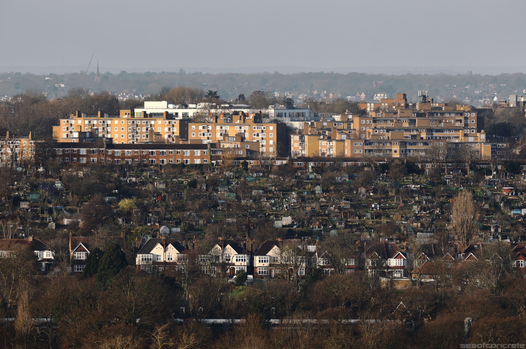
Looking west, we can see St Martin’s Estate in Tulse Hill (1, 2), with Peabody Hill Estate and Rosendale Allotments directly in front of it. In the near distance are the semi-detached houses on Rosendale Road and the Herne Hill — West Dulwich stretch of the Chatham Main Line railway.
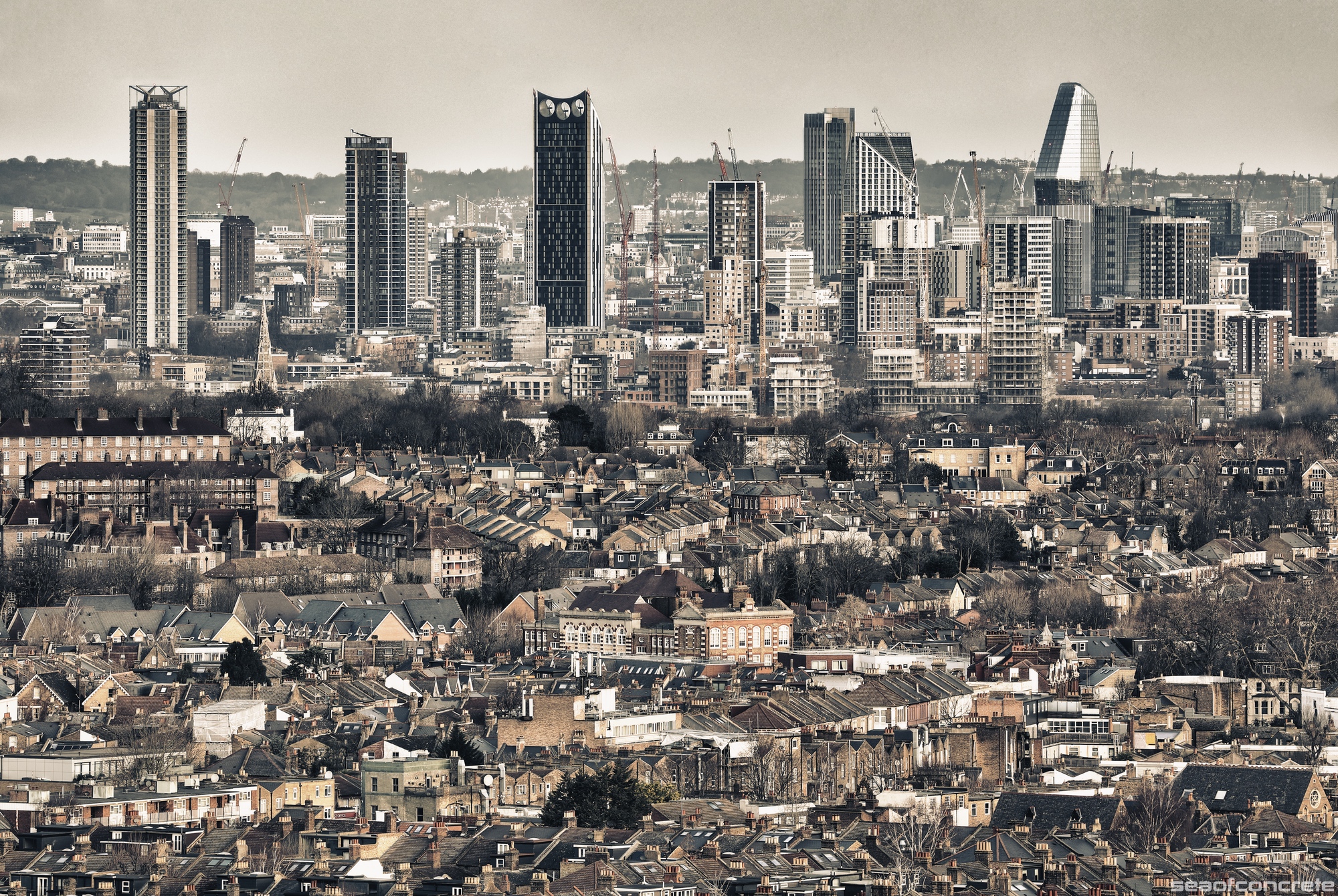
A repeat of the earlier Elephant & Castle shot, but this time in high-contrast sepia!
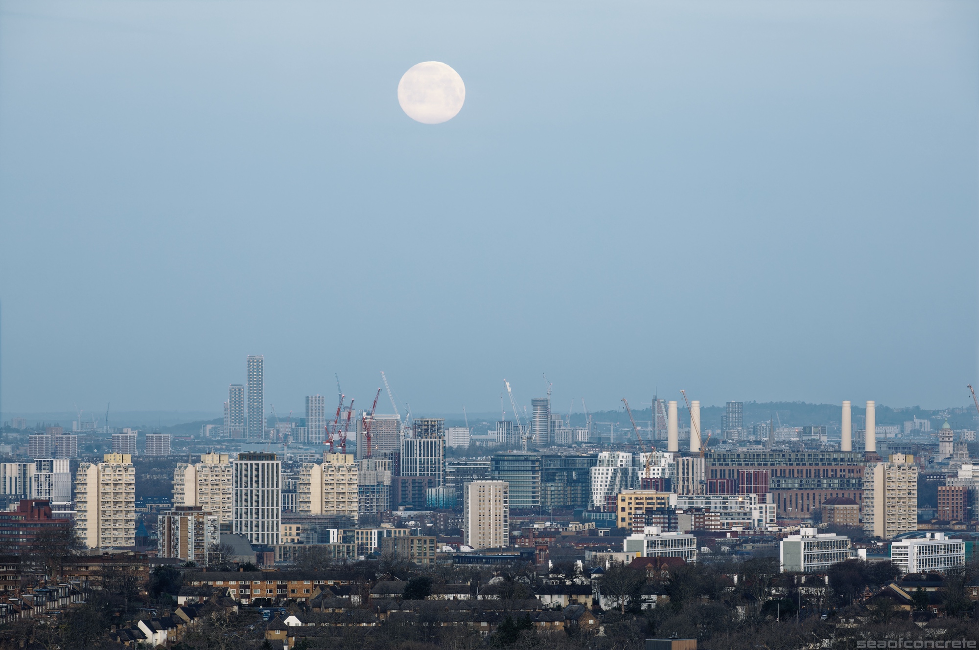
This photo was taken at 7.37am, with the full moon in descent. The tall narrow structure in the far distance is One West Point’s Tower 1, the tallest building in West London (standing at 184 metres and 60 floors). To the left, we can see Shepherd Bush’s Charecroft Estate (left to right: Roseford Court, Woodford Court, Shepherd’s Court and Bush Court). In front of Tower 1, we can spot Stockwell’s Grantham Road Estate tower blocks designed by George Finch: Arden House, Pinter House and Beckett House. Occluding the right end of the redeveloped Battersea Power Station is Edrich House in Kennington’s Cotton Gardens estate, identical in design to the Grantham Road tower blocks. Closer still are the Loughborough Estate buildings: Kemble House, Kettley House and Woolley House (1,2).
Honourable mentions go to Richard Seifert‘s Kensington Forum Holiday Inn hotel – the brutalist building behind the red crane in the centre-left of the photo, which narrowly avoided demolition in 2022 – and Imperial College London’s Queen’s Tower and the dome of Victoria and Albert Museum visible to the right of the Battersea Power Station.

A zoomed in version of the previous shot taken in misty conditions several days earlier, on January 24th at 08:37am.
This walkthrough video was filmed on the top floor of the Bredinghurst block. Imagine waking up to these views every morning! The track ID is Spacewaltz by Geb.el.
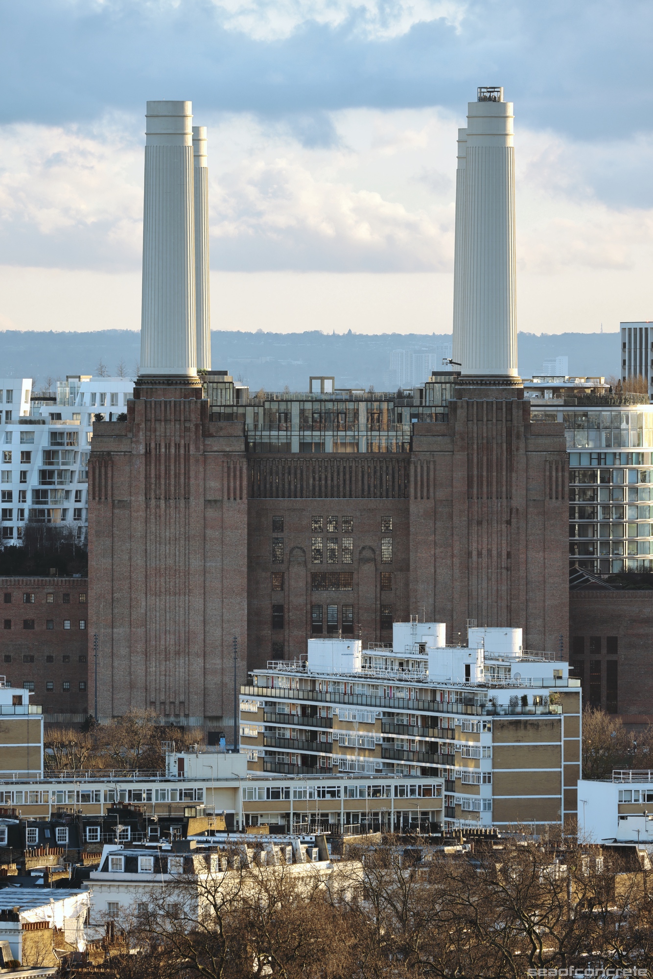
I must admit that I am not a big fan of what Battersea Power Station has become post-regeneration. However, its juxtaposition with Churchill Gardens Estate, situated just across the river, has always caught my eye. Whilst doing some research on the latter I came across this very detailed article about how waste heat from the power station was used to warm the homes on this estate from the 1950s until the station’s closure in 1983.
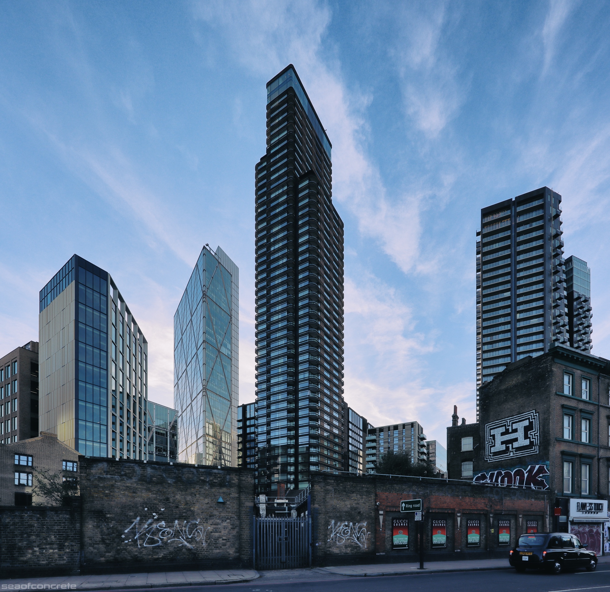
This shot was taken in October 2023. No doubt this view will soon change beyond recognition.